20261_1
GeoMachine
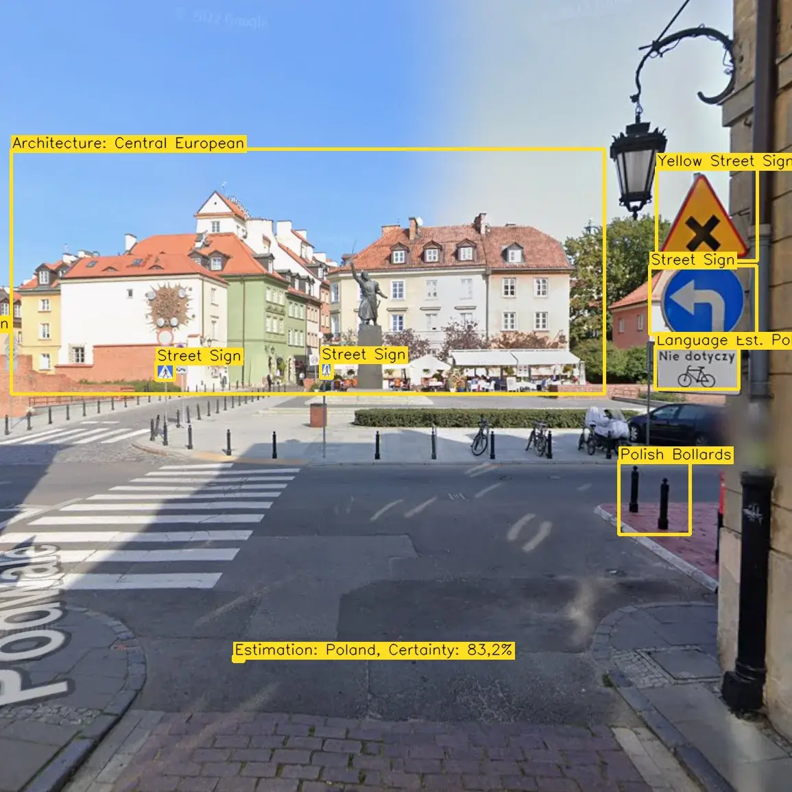
Determining where an image was taken based solely on its visual content is a challenging problem at the intersection of computer vision and geospatial reasoning, due to the visual similarity of distant places and the vast number of possible locations. A single street-level image contains numerous geographic cues: the language on signs, license plates, the side of the road on which traffic drives, vegetation, the position of the sun, and architectural style. Combining these cues can lead to a good estimate of the location.
This work investigates a multimodal approach that makes these cues explicit. A ResNet backbone, pretrained on ImageNet and fine-tuned on a purpose-built dataset of geotagged street-level images, learns location-discriminative visual representations. A second model is trained to combine the output of the first model with complementary signals, such as recognized text or architectural features. The output is a final location estimate.
(Felix Kreuer and Kaan Sarac / Professor Fu, Summer Semester 2026, Best Poster)